body {
font-family: Arial, sans-serif;
}
HR 2944 IH Cerro de la Olla Wilderness Establishment Act
https://www.govinfo.gov/app/details/BILLS-119hr2944ih
Section 1. SHORT TITLE.
This Act may be cited as the ‘‘Cerro de la Olla Wil- derness Establishment Act’’.
SECTION 2. DESIGNATION OF CERRO DE LA OLLA WILDERNESS.
(a) DESIGNATION.—
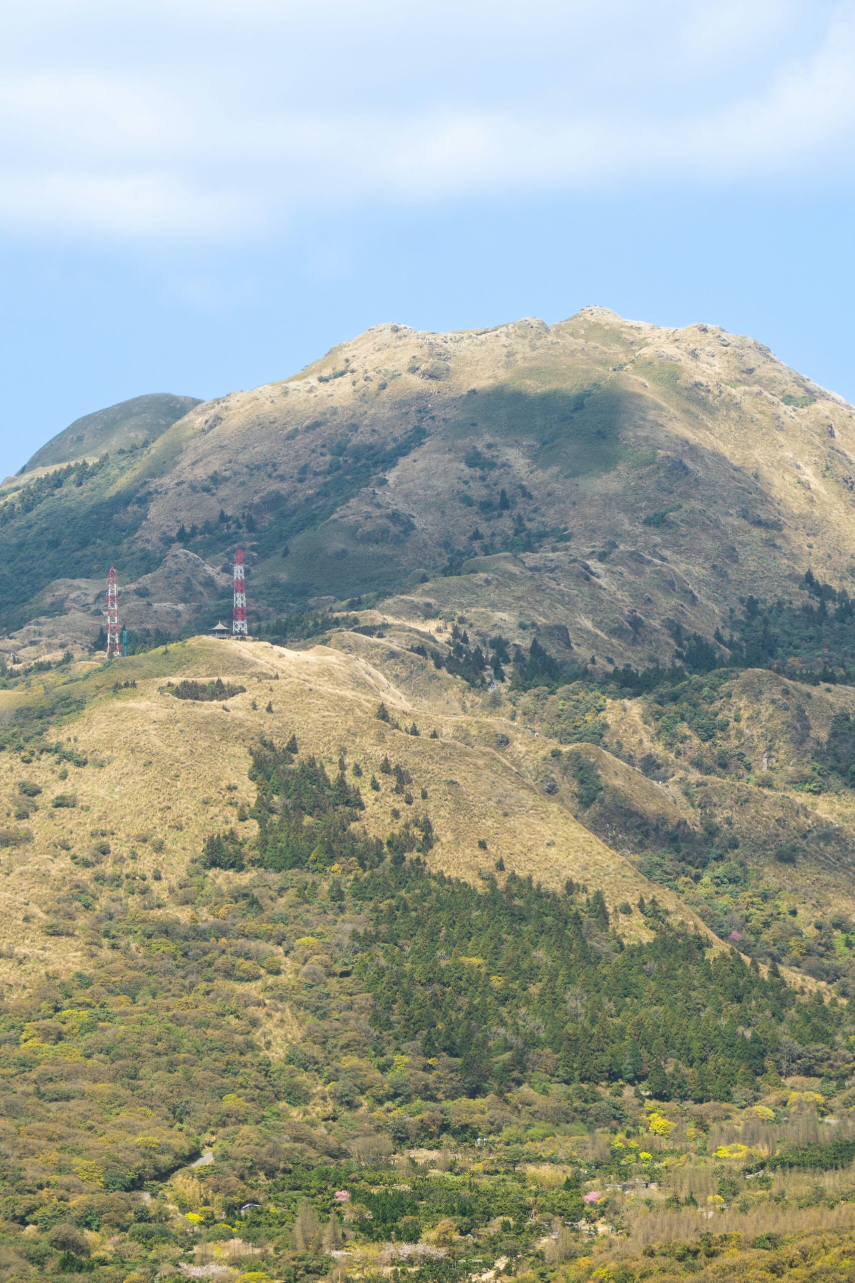
- The term ‘map’ means the map entitled ‘Proposed Cerro de la Olla Wilderness and Río Grande del Norte National Monument Boundary’ and dated April 1, 2025.
- Certain Federal land administered by the Bureau of Land Management in Taos County, New Mexico, comprising approximately 12,295 acres as generally depicted on the map, which shall be known as the ‘Cerro de la Olla Wilderness’.
(b) CERRO DE LA OLLA WILDERNESS.— Certain Federal land administered by the Bureau of Land Management in Taos County, New Mexico, comprising approximately 12,295 acres as generally depicted on the map, which shall be known as the ‘Cerro de la Olla Wilderness’. This Act (including a reserve common grazing allotment)
SECTION 2. DESIGNATION OF CERRO DE LA OLLA WILDERNESS.
(12) Wildlife Water Development Projects in Cerro de la Olla Wilderness.—
- (A) IN GENERAL.—Subject to subsection (B) and in accordance with section 4(c) of the Wilderness Act (16 U.S.C. 1133(c)), the Secretary may authorize the maintenance of any structure or facility in existence on the date of enactment of this paragraph for wildlife water development projects (including guzzlers)
- (ii) the visual impacts of the structure or facility on the Cerro de la Olla Wilderness can reasonably be minimized.
(B) COOPERATIVE AGREEMENT.—Not later than 1 year after the date of enactment of this paragraph, the Secretary shall enter into a cooperative agreement with the State of New Mexico that specifies, subject to section 4(c) of the Wilderness Act (16 U.S.C. 1133(c)), the terms and conditions under which wildlife management activities in the Cerro de la Olla Wilderness may be carried out.
SECTION 2. DESIGNATION OF CERRO DE LA OLLA WILDERNESS.
(b) RÍO GRANDE DEL NORTE NATIONAL MONUMENT BOUNDARY MODIFICATION.—The boundary of the Río Grande del Norte National Monument in the State of New Mexico is modified, as depicted on the map entitled ‘Proposed Cerro de la Olla Wilderness and Río Grande del Norte National Monument Boundary’ and dated April 1, 2025.